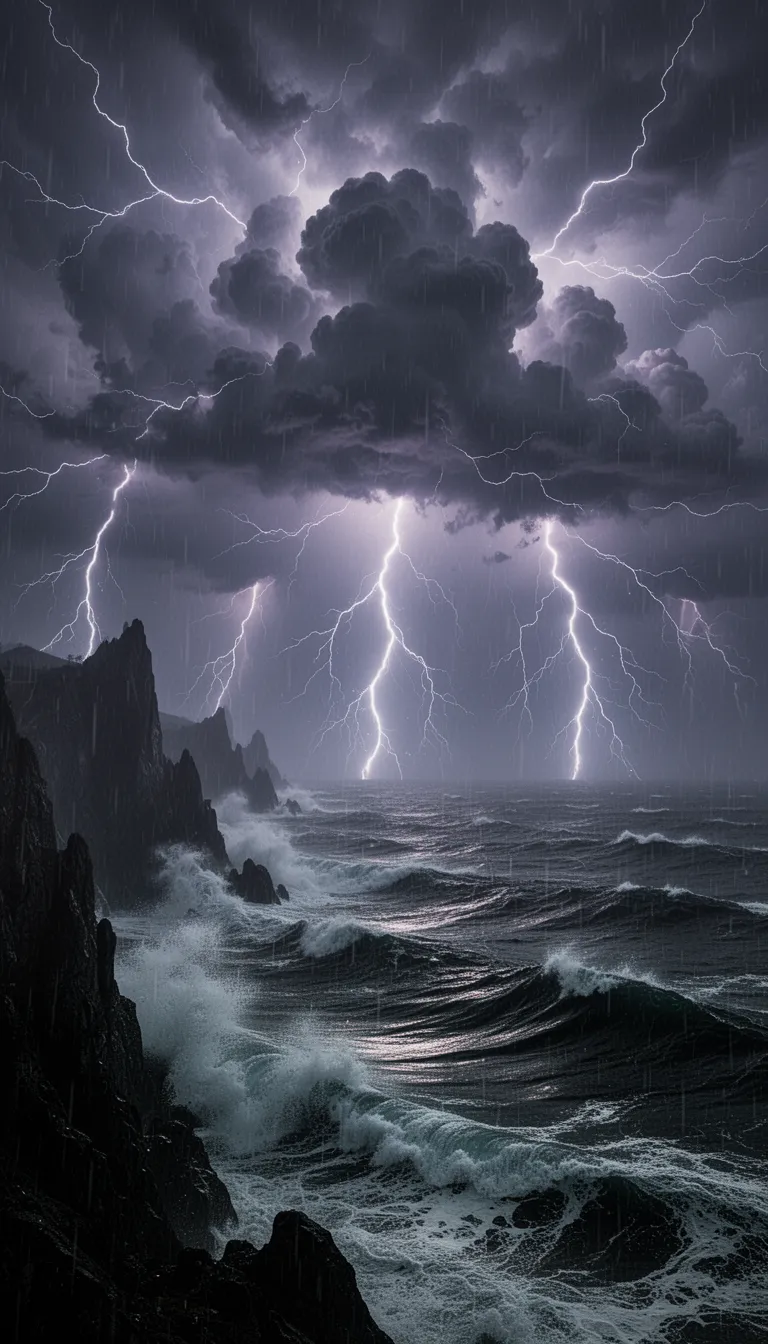
photorealistic 3d hdr render of an expansive aerial‑isometric scene blending a water‑based megastructure and a fractal maze mega‑palace within a futuristic urban‑mega‑structure. dominant landscape: coastal‑mountain artificial region of interlocking octo‑tori towers with glossy chrome and murano glass facades, mirrored water ponds cascading down terraced levels, integrated ocean‑land infrastructure. sunlight filters through emerald‑malachite and carbon‑fiber surfaces, producing high‑contrast lighting, deep shadows and bright specular highlights on titanium ribs and copper‑gradient bars. at the heart, an infinite 3d fractal maze of mirrored corridors, spiraling staircases, crystalline arches and romanesco‑shaped towers rises under a star‑filled horizon, bathed in luminous haze. surrounding the maze, a water‑power megastructure rises with interlocking octo‑tori towers, luminous murano glass sculptures, solar‑pod platforms and wind‑light vawt lampposts, illuminated by lava‑glow volcanic lighting that casts molten orange‑red highlights fading into deep crimson shadows and blue‑black depths, while amber‑blue mist swirls around aqueducts. subtropical forest canopies, bamboo groves, fern geometry and wildlife corridors dominate the scene, rendered in a palette of deep burgundy, soft blush pink, dusty rose and antique gold, with late‑afternoon golden‑hour lighting and subtle solarpunk optimism.photorealistic 3d hdr render of an expansive aerial‑isometric scene blending a water based mega‑structure and a maze mega‑builds metro‑palace within a futuristic fractal urban‑mega‑structure environment. the dominant landscape is a coastal‑mountain artificial‑mountain region of interlocking octo‑tori towers, glossy chrome and murano glass facades, mirrored water ponds that cascade down terraced levels, and integrated ocean‑land infrastructure. sunlight filters through scattered emerald‑malachite and carbon‑fiber surfaces, creating high‑contrast lighting with deep shadows and bright specular highlights that glint off titanium ribs and copper‑gradient bars. at the heart of the scene, a 3d fractal maze habitat stretches infinitely: endless mirrored corridors, spiraling staircases, crystalline arches, and romanesco‑shaped towers rise under a star‑filled horizon, bathed in luminous haze and heat‑haze glow. extreme telephoto compression flattens layers, producing stacked silhouettes and kaleidoscopic reflections. bold crude outlines and rough brushwork accentuate the majestic atmosphere, rendered in a palette of deep burgundy, soft blush pink, dusty rose, and antique gold. surrounding the maze, the water power megastructure home rises with interlocking octo‑tori towers, glossy chrome surfaces, luminous murano glass sculptures, solar‑pod platforms, and wind‑light vawt lampposts. lava‑glow volcanic lighting pours from below, casting intense orange‑red molten highlights that fade into deep crimson shadows and blue‑black depths, while amber‑blue mist swirls around coiled aqueducts and reservoirs. the broader urban‑mega‑structure layers additional soaring fractal towers, low‑poly chrome constructions, and mirrored water reflections that shift iridescently across an organic, psychedelic composition. converging lines and expansive depth are emphasized by a wide‑angle 24‑35mm perspective, creating dynamic composition and optical illusion effects. encircling the entire region, mega region hydro‑hub infrastructure weaves celtic‑knotwork engineering with futuristic octo‑tori‑stellation sets, forming aerial fractalgon megastructures that echo indonesian batik textures—layered indigo, soga brown, and cream dyes with crackle‑line veined patterns. water flows through mirrored ponds and chrome‑glass towers, reflecting light and highlighting high‑contrast lines that trace over‑under aqueduct interlaces. overlaying the landscape is a translucent fractal tertiary tessellation grid rotated 22.5°, with golden‑light threads visualizing energy flow networks and mathematical annotations (verhulst, logistic, henon, mandelbrot) subtly floating near key nodes. population nodes glow proportionally to their logistic ratios, while settlement clusters follow henon attractor patterns, creating a harmonious blend of geometry and ecology. the ecosystem dominates 77 % of the view: subtropical forest canopies, bamboo groves, fern geometry, romanesco broccoli spirals, coral‑like lattices, and l‑system growth patterns intertwine with the built environment. green corridors, bioswales, and meandering streams trace fractal watersheds, while wildlife—deer, birds, pollinators, and bat roosts—populate corridors and canopy layers. human settlements appear as compact nodes with warm amber‑green lighting, companion animals and livestock integrate seamlessly, and vertical farms bloom in vibrant amber‑green tones. overall mood is aspirational solarpunk optimism, captured in late‑afternoon golden‑hour lighting, with naturalistic color grading of desaturated earth tones accented by selective gold and emerald highlights. the image is rendered with photogrammetry, pbr workflow, subsurface scattering, ray‑traced global illumination, caustic rendering, and ultra‑high‑resolution 8k detail, ensuring hyper‑detailed micro‑textures, fine surface imperfections, and crystal‑clear reflections across every element. ## RESILIENT HABITAT CODEX - IMAGE RENDERING INSTRUCTIONS
**Configuration ID**: SITE-2412_DECENTRALIZED_MR6P6SDF ### PRIMARY VISUAL SCENE
Aerial-isometric view of Site-2412, a urban hub resilient habitat hosting 30,900,109 inhabitants within a subtropical bioregion. distributed network of small nodes, fractal settlement patterns, organic clustering, peer-to-peer connections visible as golden light threads district-wide patterns, interconnected zones, visible green corridors, mid-scale infrastructure ### COLOR PALETTE & ATMOSPHERE
balanced earth tones with vibrant ecosystem greens, 70-85% natural coverage, harmonious integration
Climate: subtropical forests, meandering waterways, bamboo groves, layered canopies
Lighting: natural diffused sunlight with 23% visible built structures creating focal points against 77% ecosystem dominance. ### GEOMETRIC & FRACTAL PATTERNS
geometric overlay following 22.5°° rotation, fractal tertiary tessellation pattern with 0.5-5km nested spacing rhythms FRACTAL MATHEMATICAL OVERLAY (77% Ecosystem / 23% Developed): ▸ VERHULST EQUATION (Population-Carrying Capacity): P(n+1) = P(n) + C·P(n)·(1 - P(n)/K) C = 2.8 (fertility coefficient, subtropical optimized) K = 30900109 × 0.77 (carrying capacity with ecosystem factor) Visual: Population nodes glow with intensity proportional to P/K ratio ▸ LOGISTIC FUNCTION (Chaos-Informed Settlement): P(n+1) = C·P(n)·(1 - P(n)) Operating in stable regime: C = 2.8 (below bifurcation threshold 3.57) Visual: Settlement spacing avoids chaotic overcrowding, stable period-2 oscillation in zoning ▸ HENON ATTRACTOR (Fractal Clustering Dynamics): X(n+1) = Y(n) + 1 - 1.4·X(n)² Y(n+1) = 0.3·X(n) Visual: Settlements distributed in chaotic attractor pattern with mixing properties Points cluster fractally while maintaining biodiversity corridors ▸ FRACTAL DIMENSIONS: • Minkowski Dimension: D_M = log(N)/log(1/ε) ≈ 1.8 for habitat network • Hausdorff Dimension: D_H = log(3)/log(2) ≈ 1.585 for ecosystem corridors • Box-Counting: D_B ≈ 1.7 (between line and plane, optimal for life) Visual: Self-similar patterns repeat across 7 scales (20km → 250m) ▸ MANDELBROT SET INTEGRATION: Z(n+1) = Z(n)² + C Visual: Mandelbrot-like boundaries between 23% developed & 77% wild zones Self-similar "bays" of habitat creating maximum edge diversity Windows of order within complexity at fractal boundaries ▸ GRID ROTATION FORMULA: θ = 22.5°° | Scales: 20km, 10km, 5km, 2.5km, 1km, 500m, 250m Pattern: Fractal Tertiary tessellation with rotational symmetry ▸ SETTLEMENT WAVE-FORM DISTRIBUTION: D(r) = D₀·e^(-r/L)·cos(2πr/λ) L = 5-10km decay length | λ = wavelength Visual: Wave interference patterns create density peaks at node centers ▸ CORRIDOR WIDTH (Verhulst-Adjusted): W(x) = W₀·(1 + 0.23·sin(2πx/P))·(K_local/K_max) W₀ = 3000-5000m base width Visual: Organic width variation following population pressure gradients ▸ DENSITY DECAY DISTRIBUTION: ρ(r) = ρ_max·(1 - r²/R²)^(3/2)·[1 - P(r)/K] R = 5-10km maximum radius Visual: Smooth density gradients from dense cores to wilderness ▸ BIODIVERSITY INDEX (Fractal-Enhanced EHI): B(t,x,y) = B_max·(1 - e^(-kt))·(0.77 + 0.23·H)·F_d t = 1 years | k = recovery rate | F_d = fractal diversity Visual: Biodiversity "heat map" with fractal clustering hotspots ▸ ENERGY FLOW NETWORK (Henon-Distributed): E(x,y) = E₀·[H_x(n) + H_y(n)] Visual: Energy pathways follow chaotic attractor geometry (efficient but organic) ▸ WATER CASCADE (Logistic-Regulated): Q(h) = Q₀·√(h/h_max)·[1 - W_use/W_capacity] Visual: Terraced retention forming fractal watersheds with 95% recycling ▸ MULTI-SPECIES COHABITATION DENSITY: S_total = S_human + 0.3·S_companion + S_wild(fractal) + S_livestock(rotational) Visual: Overlapping habitat layers - humans, companion animals, wildlife, livestock Species distributions follow different attractor patterns for niche separation ### ARCHITECTURAL INTEGRATION
biomimetic architecture, fractal roof patterns, earth-integrated structures, natural material palette (timber, stone, living walls)
Building-to-Nature Ratio: 23% built, 77% ecosystem (visible in composition)
Settlement morphology follows fractal expansion: central dense node with recursive fractal branching at 22.5°° intervals
Height Restrictions: Max 6 stories, human-scale proportions, sky visibility maintained ### ECOSYSTEM & BIODIVERSITY Ecosystem Recovery State: Immediate (0-2yr)
• Canopy Coverage: 40-60%
• Wildlife Corridors: 0.5-5km nested width, continuous green infrastructure
• Water Features: bioswales, retention ponds, meandering streams following natural hydrology
• Native Species: dominant flora with 85% indigenous species
• Vertical Stratification: ground cover → understory → canopy layers visible ### TECHNICAL VISUALIZATION ELEMENTS
• Overlay translucent geometric grid showing Fractal Tertiary tessellation
• Subtle mathematical formula annotations floating near key infrastructure nodes
• Energy flow visualized as golden light threads connecting buildings
• Water systems shown as blue-cyan flowing networks
• Food production (vertical farms, rooftop gardens) in warm amber-green tones
• Transportation: minimal visible roads, emphasis on pedestrian paths and green corridors ### MOOD & STYLE
Aspirational solarpunk aesthetic, scientifically grounded optimism, harmonious human-nature integration, photorealistic rendering with subtle holographic data overlays, late afternoon golden hour lighting, sense of living ecosystem with human habitat seamlessly embedded, visible biodiversity with people, flora, and fauna coexisting. ### RENDERING SPECIFICATIONS
• Perspective: 45° isometric aerial view or drone perspective at 4,334 km² scale
• Resolution: Ultra high resolution, 8K quality
• Style: Photorealistic with subtle parametric design elements, architectural visualization meets ecological science
• Emphasis: Show the INTERLOCK between built environment (23%) and ecosystem (77%)
• Fractal Details: Visible at multiple scales from building details to regional patterns ### TECHNICAL PARAMETERS FOR AI IMAGE GENERATION
Model: Architectural visualization + ecological landscape rendering hybrid
Prompt Weight Distribution: • Ecosystem Dominance: 0.77 (primary visual weight) • Architecture: 0.23 (integrated but not dominant) • Fractal Patterns: 0.18 (visible mathematical beauty) • Mathematical Overlays: 0.10 (subtle formula annotations) • Multi-Species Integration: 0.12 (visible biodiversity) Negative Prompt: urban sprawl, monoculture, car-centric design, concrete dominance, gray industrial zones, ecological deserts, species isolation, chaotic overdevelopment (C > 3.57 bifurcation), megacity density, ecosystem fragmentation Aspect Ratio: 16:9 (landscape/bioregional) or 3:2 (architectural detail)
Seed Strategy: Use Fibonacci sequence (1,1,2,3,5,8,13,21,34,55,89...) or golden ratio φ=1.618 for natural fractal generation
Iteration Depth: 7 levels of fractal recursion matching spatial hierarchy
Chaos Parameter: a=1.4, b=0.3 (Henon stable mixing regime)
Population Parameter: C=2.8 (stable logistic growth, pre-bifurcation) ### SPECIES COHABITATION VISUALIZATION
Visual Layers to Show: ✓ Human settlements: compact nodes, warm lighting, visible activity ✓ Companion animals: dogs/cats in shared spaces, bird perches on buildings ✓ Wild species: deer in corridors, birds in canopy, pollinators in gardens ✓ Livestock: rotational grazing visible in agricultural zones ✓ Bat roosts: 1 per 20m of facade (small architectural details) ✓ Pollinator gardens: 15+ native species creating color diversity ### FRACTAL SELF-SIMILARITY DIRECTIVE
Ensure patterns visible at multiple scales: 1. Regional (20km): Bioregional wave-form lattice 2. District (5km): Settlement clustering following Henon attractor 3. Neighborhood (1km): Grid tessellation at θ=22.5°° 4. Block (250m): Corridor widths varying 3000-5000m 5. Building (50m): Fractal roof patterns, living walls 6. Human (5m): Detailed biodiversity, individual species visible 7. Detail (0.5m): Material textures, plant species diversity ---
*EVOLUTIONARY POPULATION MODELING INTEGRATED: This prompt embeds Verhulst, Logistic, Henon, and Mandelbrot mathematics into visual form. The 77/23 ecosystem-to-developed ratio is maintained through fractal boundaries. Population dynamics operate in stable regime (C=2.8) avoiding chaotic bifurcation. Multi-species cohabitation creates resilient, biodiverse territories supporting 8+ billion beings across all taxonomic groups.*

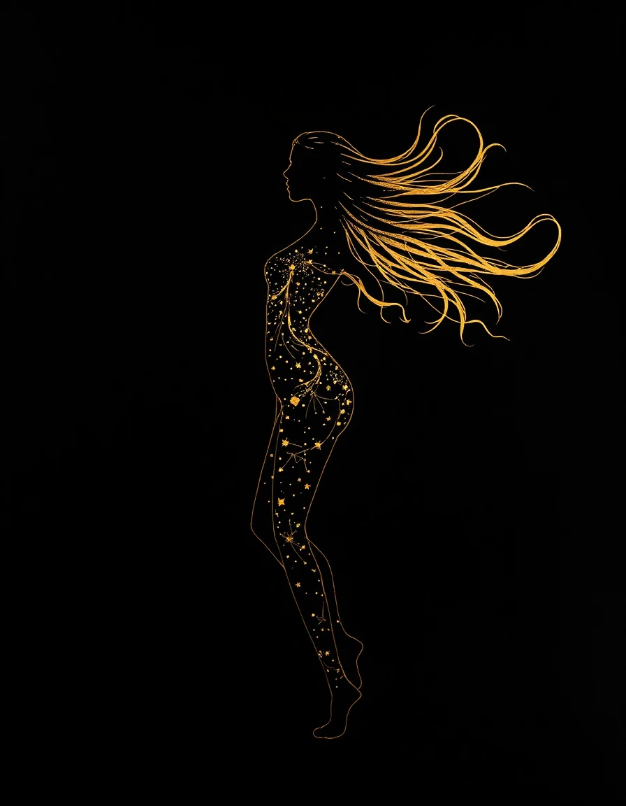


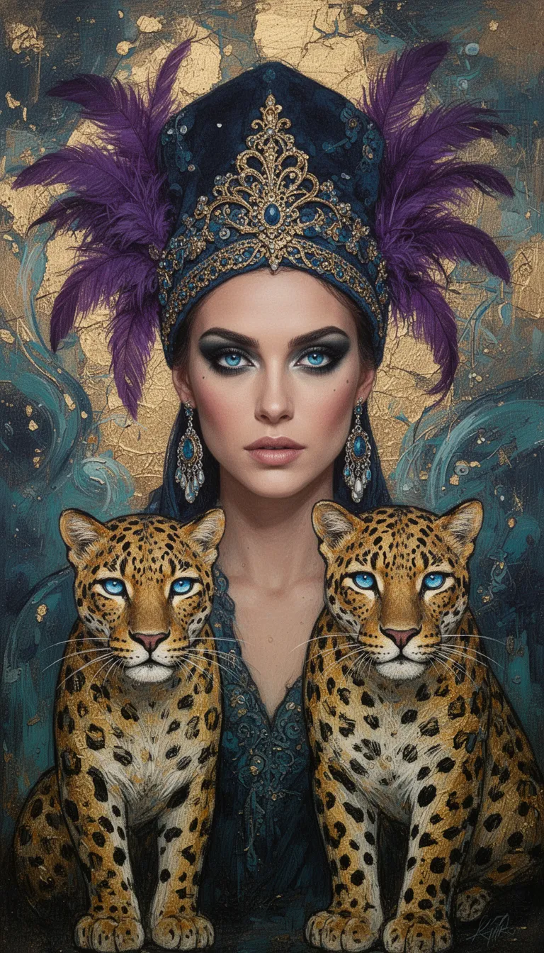

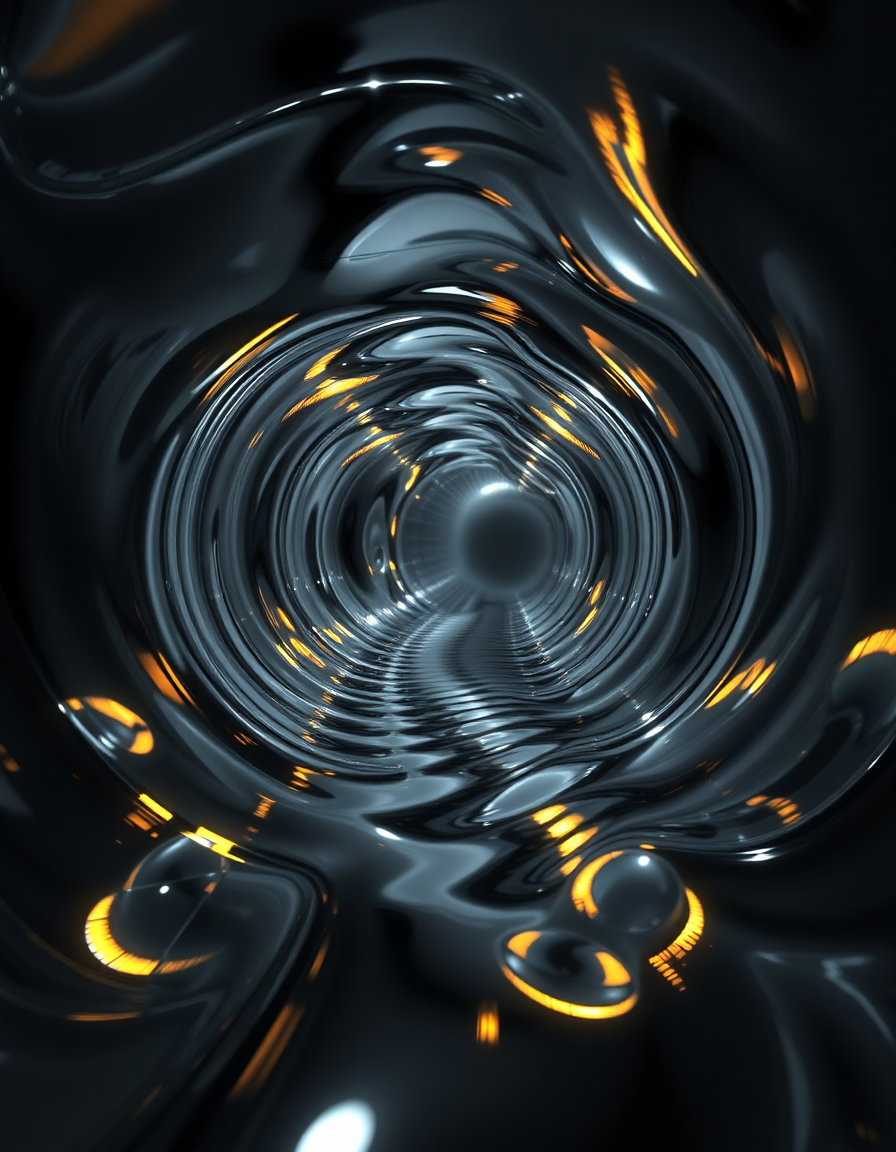
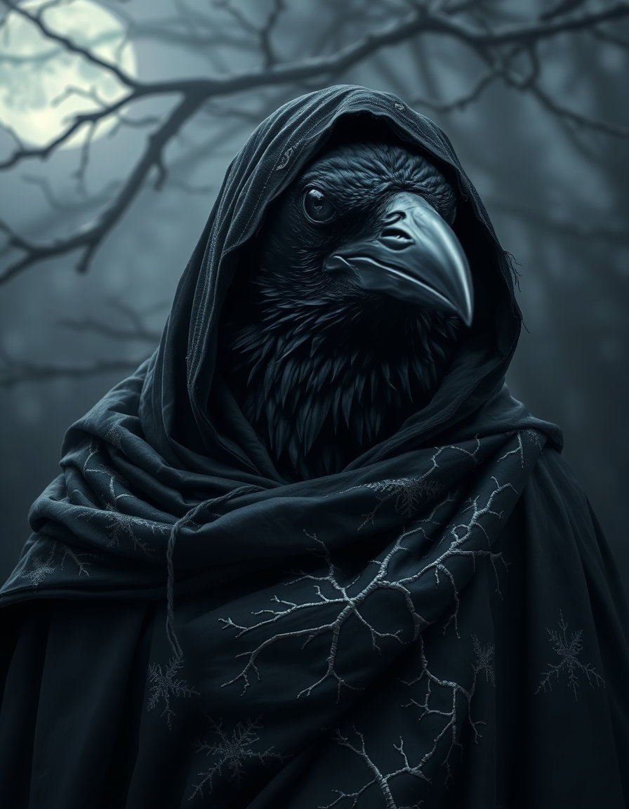
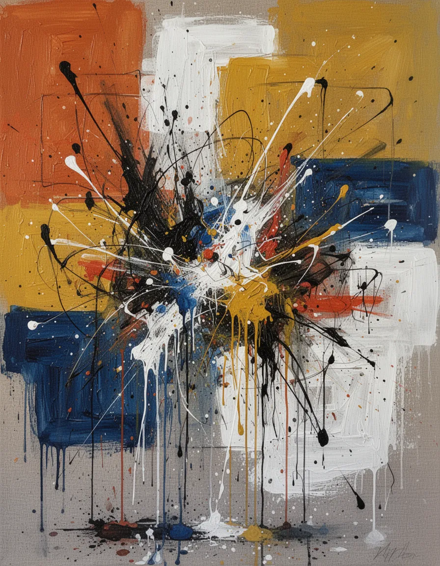
![A flawless, hyper-realistic Oni mask floating autonomously, suspended entirely on its own within a weightless, atmospheric void of shimmering aether. The mask is masterfully crafted from highly polished [BASE MATERIAL], deeply veined and seamlessly composited with [SECONDARY MATERIAL]. This rare secondary infusion perfectly complements the main stone in color and texture, elevating its ancient, striking aesthetic. The mask's features are dynamically contorted into an expression of absolute, extreme [SINGLE EMOTION], capturing every nuanced micro-expression, furrowed brow, and intense tension with lifelike accuracy. Highest quality, extremely detailed, photorealistic textures, 8k resolution, high definition, dramatic volumetric lighting, unique masterpiece.
Generation Variables
To get the shifting effects you want from generation to generation, simply replace the bracketed sections with a new combination each time you run it.
Material Combinations (Base + Secondary):
Midnight obsidian infused with veins of liquid gold.
White Carrara marble composited with glowing lapis lazuli.
Frosted sea glass marbled with crushed diamond inlay.
Raw malachite veined with molten copper.
Deep amethyst infused with iridescent bismuth.
Extreme Emotions:
Seething rage
Utter despair
Manic euphoria
Paralyzing terror
Profound grief](https://d2z5znftraj9jv.cloudfront.net/jn76xjpc2ym9nwnv4dwzt77chx89m1xe.webp)


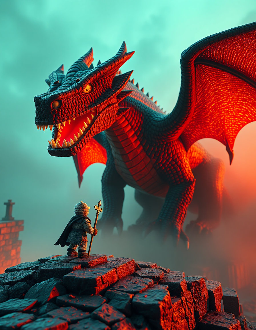
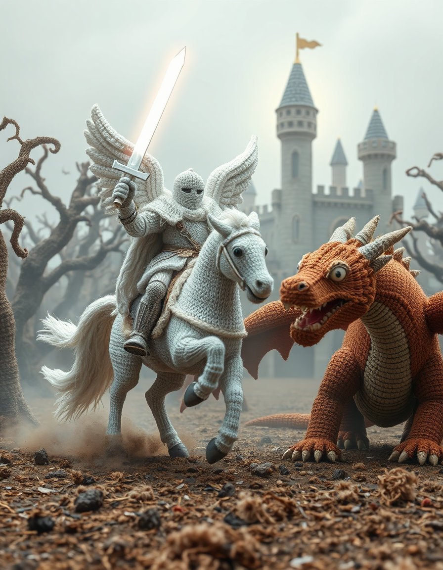
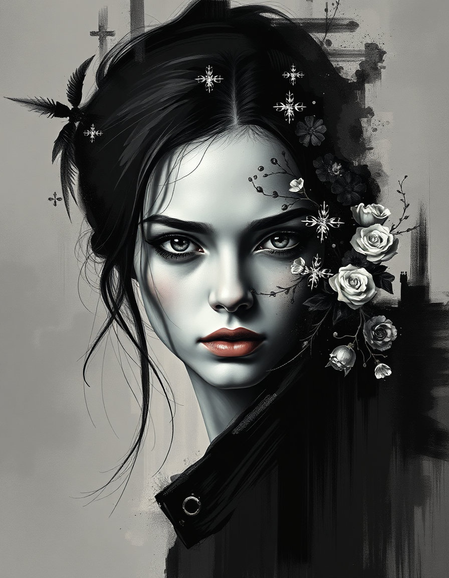
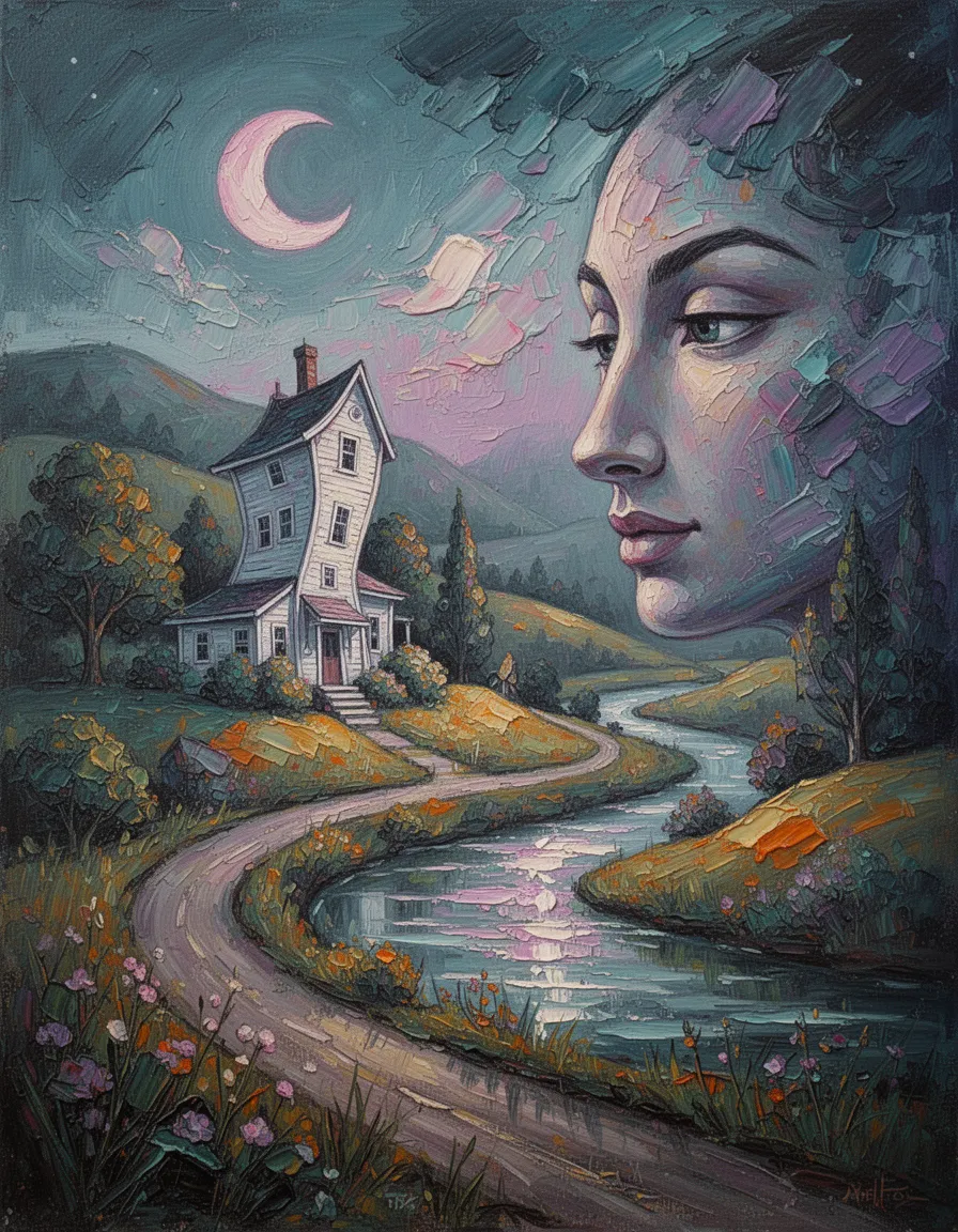
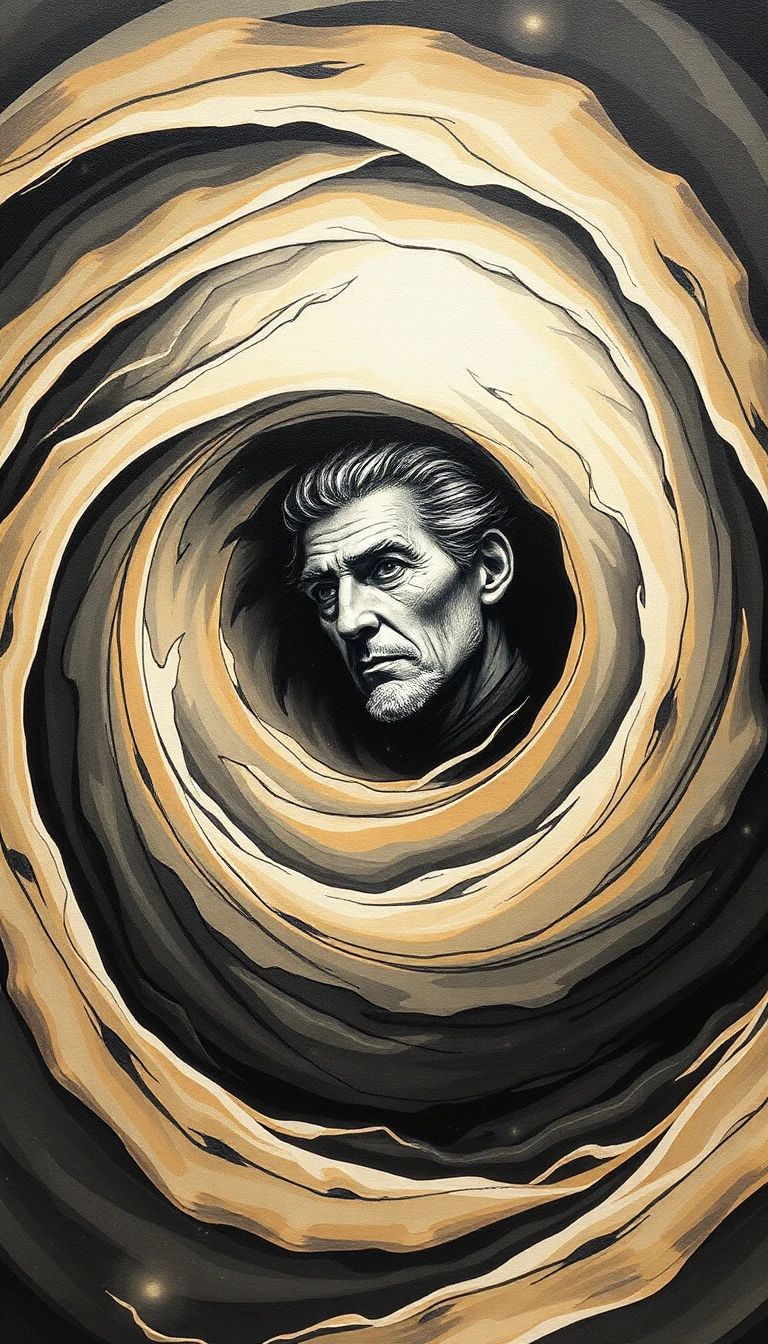
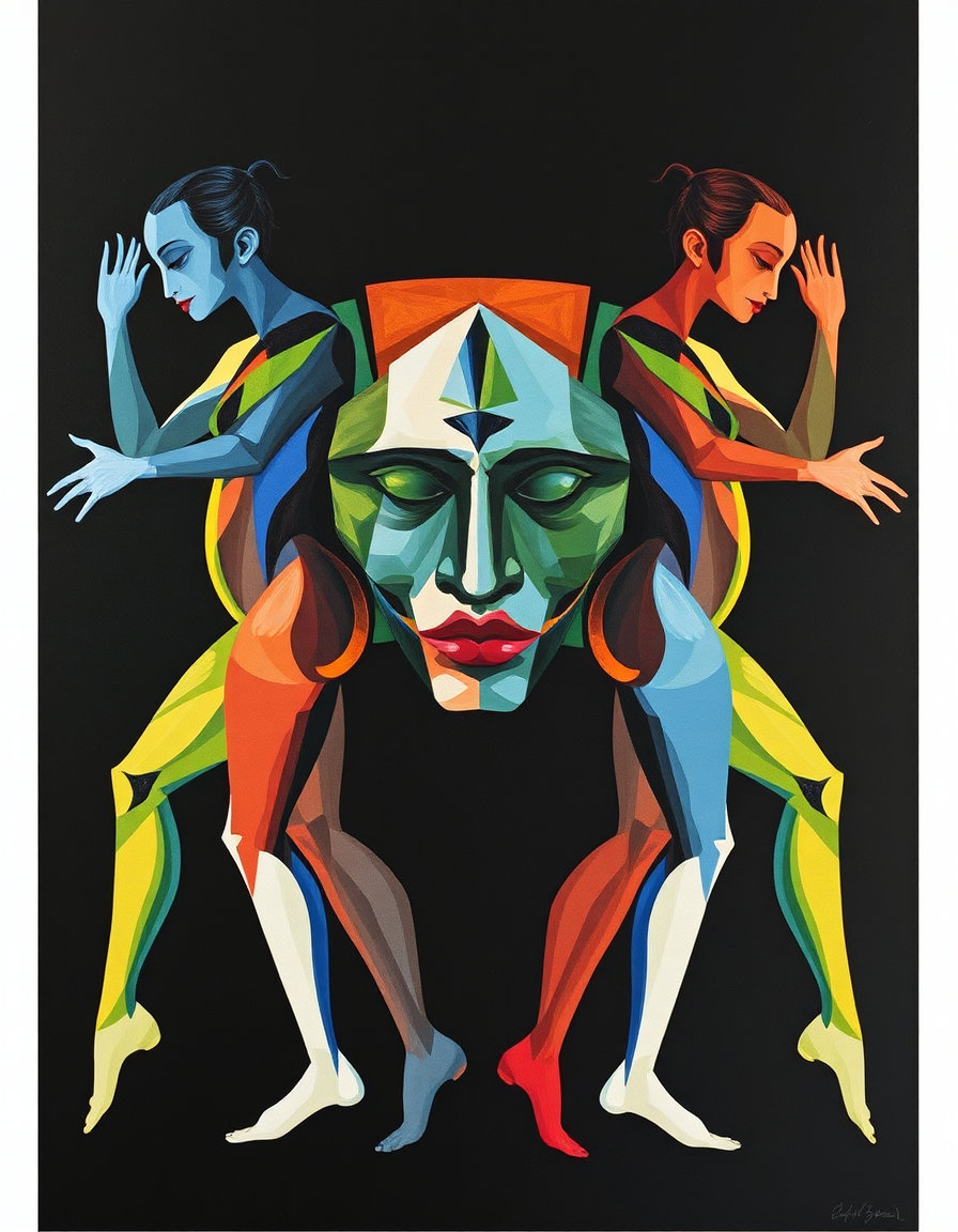
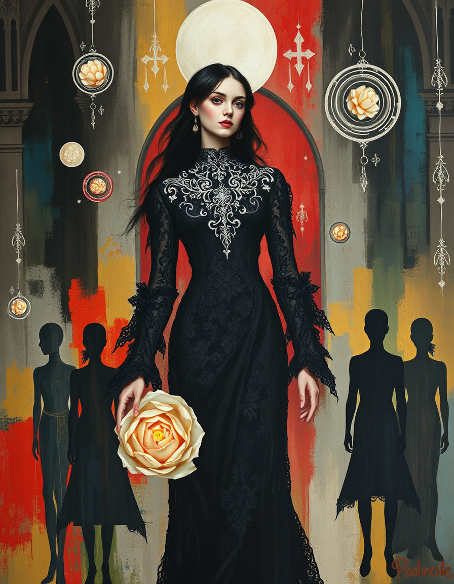
![[P] imagine in Gustav Klimt, opulent and ornate style. Full shot of a majestic male figure seated in profound thought on a stone pedestal, fusing the classical angelic anatomy of 52815.jpg with the melancholy sitting posture from 53080.jpg. He possesses massive, realistic feathered wings outstretched symmetrically behind him, rendered in Michelangelo perfection style, exquisite flawless form with anatomically perfect hands and feet, clean finger separation, and correct fingernails. The figure is draped in an elegant, translucent white veil and embroidered fabric reminiscent of 53187.jpg, catching the light gracefully. The environment features a striking, surreal contrast: a dark, moody background where an abstract rainstorm of vibrant, colorful paint drips down from a stormy sky, directly referencing the artistic motif in 53080.jpg, while warm, glowing candlelight flares softly on a wet stone surface nearby. Chiaroscuro lighting with dramatic rim lighting across his muscular torso and face, casting cinematic deep shadows. Captured with a Hasselblad X2D 100C, 50mm lens, ISO 100, f/1.8, centered composition, 8k, 16k, ultra high resolution, crisp sharp focus, gallery grade, poster-size print quality --ar 9:16 --style raw --q 2
[N] blurry, lowres, artifacts, bad anatomy, extra limbs, extra fingers, mangled hands, out of frame, watermark, logo, text, duplicate subject, cell phone interface, screenshot crop marks, UI icons, heart icon, share icon](https://d2z5znftraj9jv.cloudfront.net/jn7e9cjtd04jbf039y3xcnwqfh89g9q8.webp)
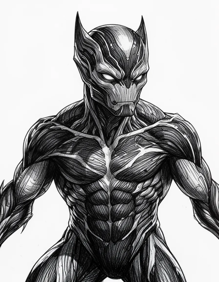
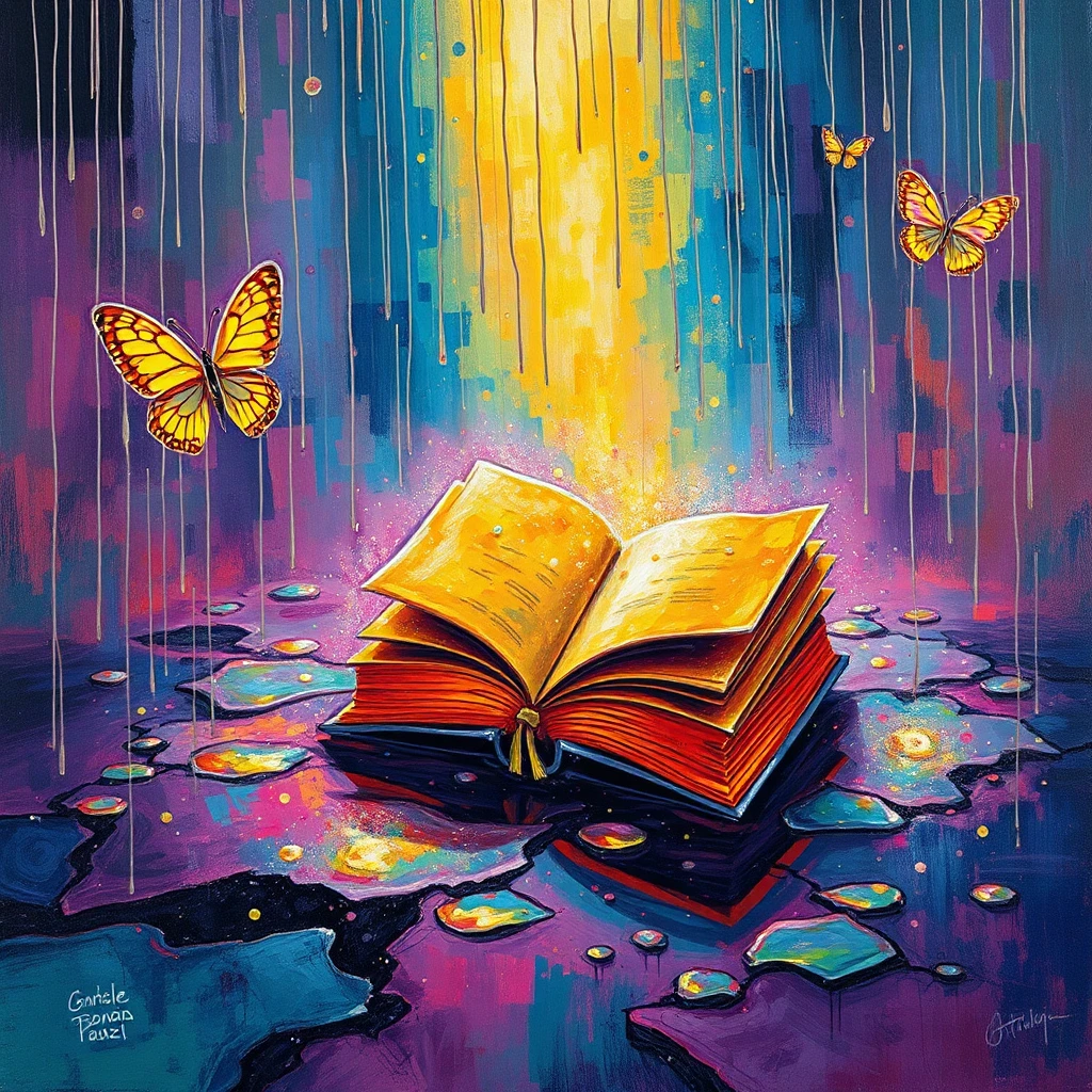
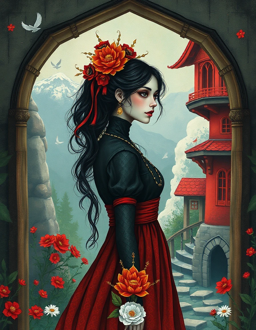
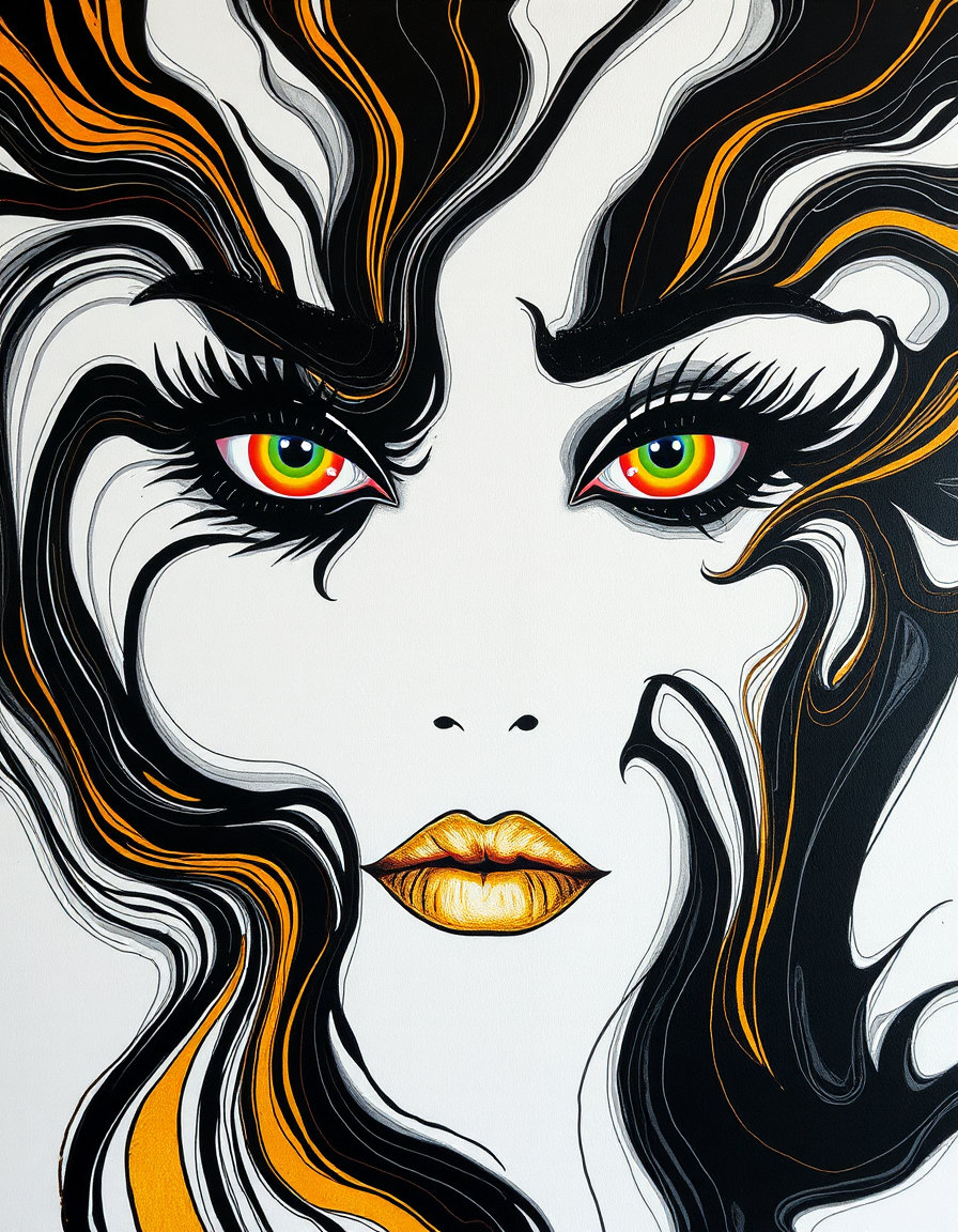
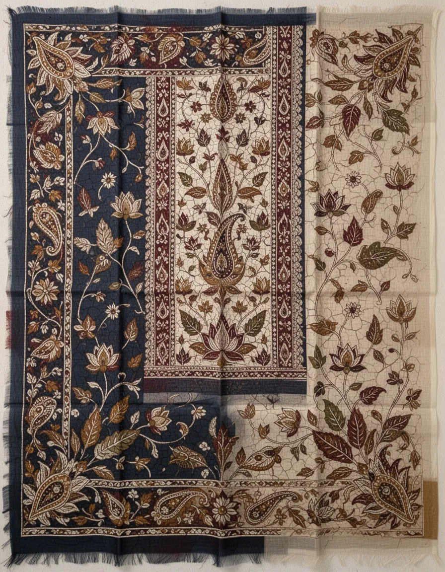
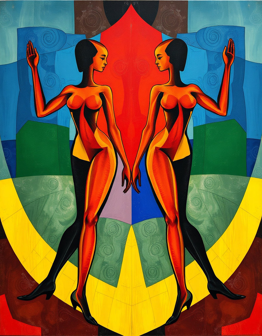
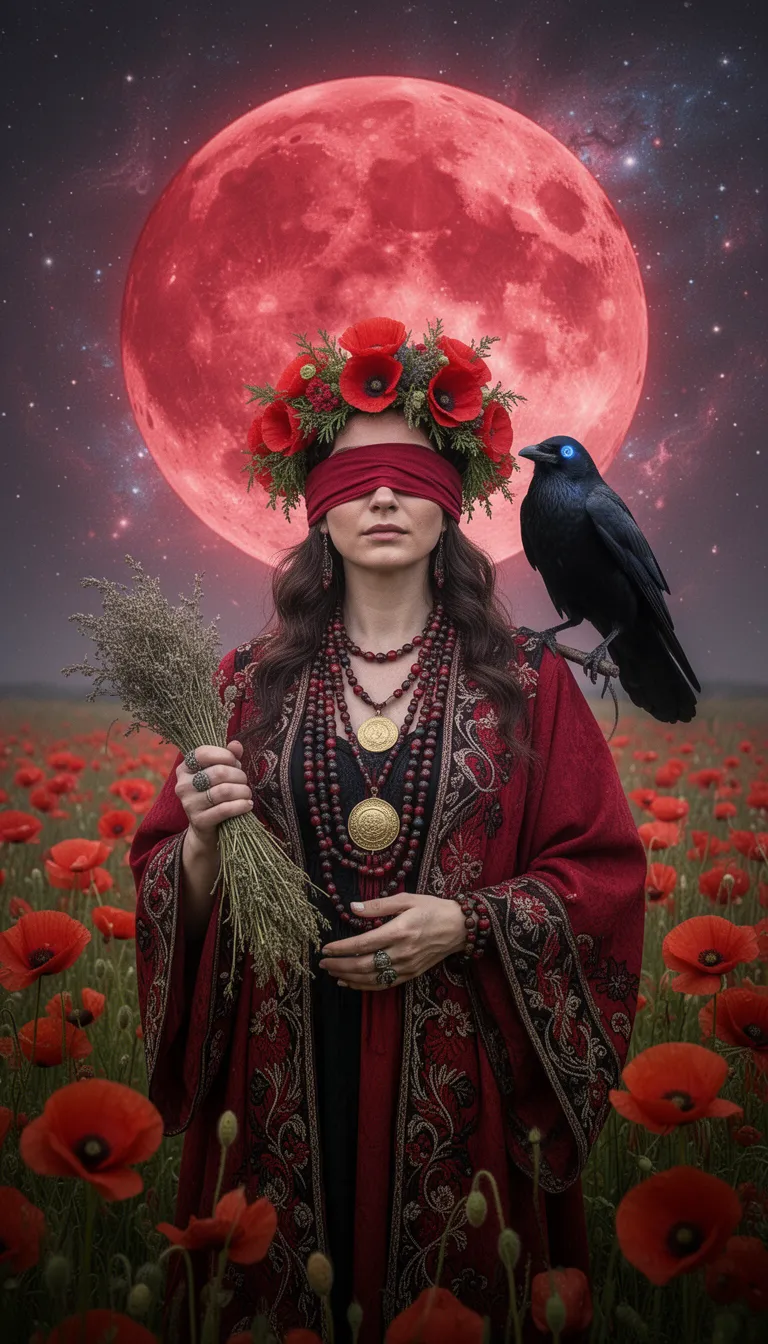
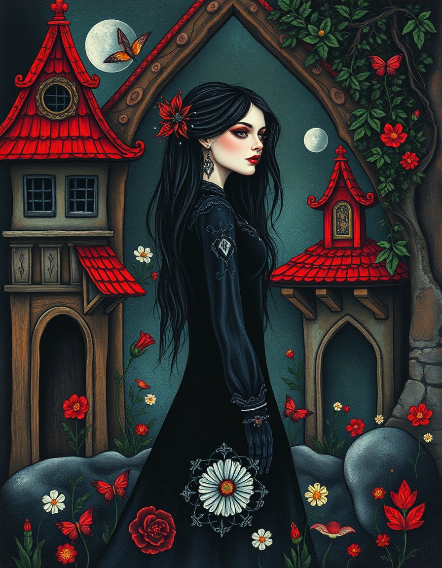
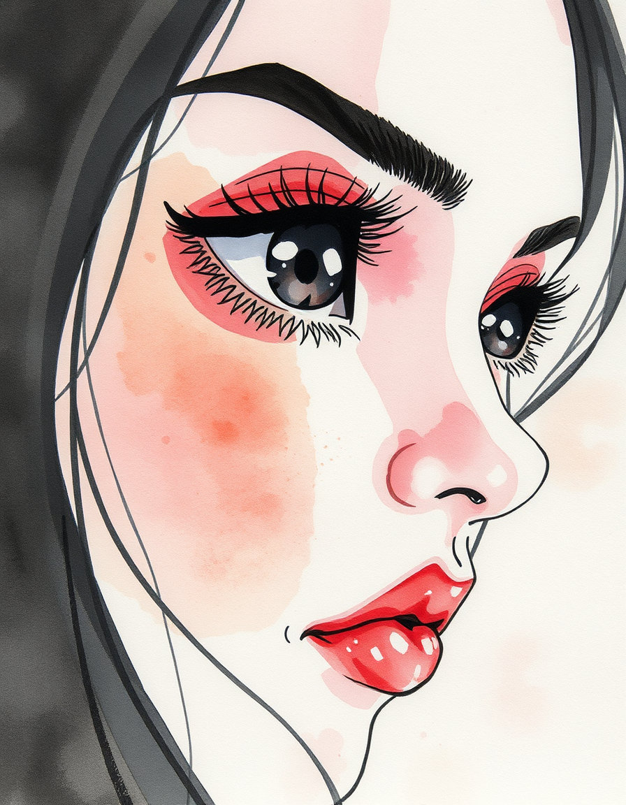
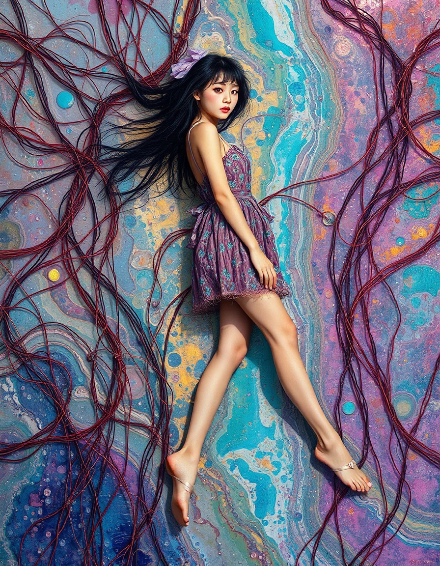
![Flat hand-painted folk fashion illustration of a thick woman with hair like pasta, wearing mini sundress,set in [BACKGROUND]. Use [PALETTE], thick uneven black outlines, flat opaque gouache color blocks, visible paper grain, simplified almond eyes, small red lips, long stylized neck, minimal facial detail, decorative textile patterns, bold graphic foliage, naive proportions, cropped medium portrait framing, and a poster-like composition with no realistic depth. Clean saturated editorial look, handmade texture](https://d2z5znftraj9jv.cloudfront.net/jn7339znm4mvqxmxyvkwgxpakh89pd30.webp)


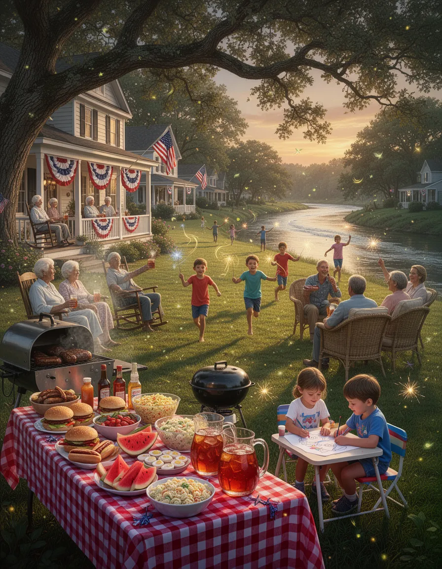
![## RESILIENT HABITAT CODEX - IMAGE RENDERING INSTRUCTIONS
**Configuration ID**: SITE-2412_DECENTRALIZED_MR6P6SDF ### PRIMARY VISUAL SCENE
Aerial-isometric view of Site-2412, a urban hub resilient habitat hosting 30,900,109 inhabitants within a subtropical bioregion. distributed network of small nodes, fractal settlement patterns, organic clustering, peer-to-peer connections visible as golden light threads district-wide patterns, interconnected zones, visible green corridors, mid-scale infrastructure ### COLOR PALETTE & ATMOSPHERE
balanced earth tones with vibrant ecosystem greens, 70-85% natural coverage, harmonious integration
Climate: subtropical forests, meandering waterways, bamboo groves, layered canopies
Lighting: natural diffused sunlight with 23% visible built structures creating focal points against 77% ecosystem dominance. ### GEOMETRIC & FRACTAL PATTERNS
geometric overlay following 22.5°° rotation, fractal tertiary tessellation pattern with 0.5-5km nested spacing rhythms FRACTAL MATHEMATICAL OVERLAY (77% Ecosystem / 23% Developed): ▸ VERHULST EQUATION (Population-Carrying Capacity): P(n+1) = P(n) + C·P(n)·(1 - P(n)/K) C = 2.8 (fertility coefficient, subtropical optimized) K = 30900109 × 0.77 (carrying capacity with ecosystem factor) Visual: Population nodes glow with intensity proportional to P/K ratio ▸ LOGISTIC FUNCTION (Chaos-Informed Settlement): P(n+1) = C·P(n)·(1 - P(n)) Operating in stable regime: C = 2.8 (below bifurcation threshold 3.57) Visual: Settlement spacing avoids chaotic overcrowding, stable period-2 oscillation in zoning ▸ HENON ATTRACTOR (Fractal Clustering Dynamics): X(n+1) = Y(n) + 1 - 1.4·X(n)² Y(n+1) = 0.3·X(n) Visual: Settlements distributed in chaotic attractor pattern with mixing properties Points cluster fractally while maintaining biodiversity corridors ▸ FRACTAL DIMENSIONS: • Minkowski Dimension: D_M = log(N)/log(1/ε) ≈ 1.8 for habitat network • Hausdorff Dimension: D_H = log(3)/log(2) ≈ 1.585 for ecosystem corridors • Box-Counting: D_B ≈ 1.7 (between line and plane, optimal for life) Visual: Self-similar patterns repeat across 7 scales (20km → 250m) ▸ MANDELBROT SET INTEGRATION: Z(n+1) = Z(n)² + C Visual: Mandelbrot-like boundaries between 23% developed & 77% wild zones Self-similar "bays" of habitat creating maximum edge diversity Windows of order within complexity at fractal boundaries ▸ GRID ROTATION FORMULA: θ = 22.5°° | Scales: 20km, 10km, 5km, 2.5km, 1km, 500m, 250m Pattern: Fractal Tertiary tessellation with rotational symmetry ▸ SETTLEMENT WAVE-FORM DISTRIBUTION: D(r) = D₀·e^(-r/L)·cos(2πr/λ) L = 5-10km decay length | λ = wavelength Visual: Wave interference patterns create density peaks at node centers ▸ CORRIDOR WIDTH (Verhulst-Adjusted): W(x) = W₀·(1 + 0.23·sin(2πx/P))·(K_local/K_max) W₀ = 3000-5000m base width Visual: Organic width variation following population pressure gradients ▸ DENSITY DECAY DISTRIBUTION: ρ(r) = ρ_max·(1 - r²/R²)^(3/2)·[1 - P(r)/K] R = 5-10km maximum radius Visual: Smooth density gradients from dense cores to wilderness ▸ BIODIVERSITY INDEX (Fractal-Enhanced EHI): B(t,x,y) = B_max·(1 - e^(-kt))·(0.77 + 0.23·H)·F_d t = 1 years | k = recovery rate | F_d = fractal diversity Visual: Biodiversity "heat map" with fractal clustering hotspots ▸ ENERGY FLOW NETWORK (Henon-Distributed): E(x,y) = E₀·[H_x(n) + H_y(n)] Visual: Energy pathways follow chaotic attractor geometry (efficient but organic) ▸ WATER CASCADE (Logistic-Regulated): Q(h) = Q₀·√(h/h_max)·[1 - W_use/W_capacity] Visual: Terraced retention forming fractal watersheds with 95% recycling ▸ MULTI-SPECIES COHABITATION DENSITY: S_total = S_human + 0.3·S_companion + S_wild(fractal) + S_livestock(rotational) Visual: Overlapping habitat layers - humans, companion animals, wildlife, livestock Species distributions follow different attractor patterns for niche separation ### ARCHITECTURAL INTEGRATION
biomimetic architecture, fractal roof patterns, earth-integrated structures, natural material palette (timber, stone, living walls)
Building-to-Nature Ratio: 23% built, 77% ecosystem (visible in composition)
Settlement morphology follows fractal expansion: central dense node with recursive fractal branching at 22.5°° intervals
Height Restrictions: Max 6 stories, human-scale proportions, sky visibility maintained ### ECOSYSTEM & BIODIVERSITY Ecosystem Recovery State: Immediate (0-2yr)
• Canopy Coverage: 40-60%
• Wildlife Corridors: 0.5-5km nested width, continuous green infrastructure
• Water Features: bioswales, retention ponds, meandering streams following natural hydrology
• Native Species: dominant flora with 85% indigenous species
• Vertical Stratification: ground cover → understory → canopy layers visible ### TECHNICAL VISUALIZATION ELEMENTS
• Overlay translucent geometric grid showing Fractal Tertiary tessellation
• Subtle mathematical formula annotations floating near key infrastructure nodes
• Energy flow visualized as golden light threads connecting buildings
• Water systems shown as blue-cyan flowing networks
• Food production (vertical farms, rooftop gardens) in warm amber-green tones
• Transportation: minimal visible roads, emphasis on pedestrian paths and green corridors ### MOOD & STYLE
Aspirational solarpunk aesthetic, scientifically grounded optimism, harmonious human-nature integration, photorealistic rendering with subtle holographic data overlays, late afternoon golden hour lighting, sense of living ecosystem with human habitat seamlessly embedded, visible biodiversity with people, flora, and fauna coexisting. ### RENDERING SPECIFICATIONS
• Perspective: 45° isometric aerial view or drone perspective at 4,334 km² scale
• Resolution: Ultra high resolution, 8K quality
• Style: Photorealistic with subtle parametric design elements, architectural visualization meets ecological science
• Emphasis: Show the INTERLOCK between built environment (23%) and ecosystem (77%)
• Fractal Details: Visible at multiple scales from building details to regional patterns ### TECHNICAL PARAMETERS FOR AI IMAGE GENERATION
Model: Architectural visualization + ecological landscape rendering hybrid
Prompt Weight Distribution: • Ecosystem Dominance: 0.77 (primary visual weight) • Architecture: 0.23 (integrated but not dominant) • Fractal Patterns: 0.18 (visible mathematical beauty) • Mathematical Overlays: 0.10 (subtle formula annotations) • Multi-Species Integration: 0.12 (visible biodiversity) Negative Prompt: urban sprawl, monoculture, car-centric design, concrete dominance, gray industrial zones, ecological deserts, species isolation, chaotic overdevelopment (C > 3.57 bifurcation), megacity density, ecosystem fragmentation Aspect Ratio: 16:9 (landscape/bioregional) or 3:2 (architectural detail)
Seed Strategy: Use Fibonacci sequence (1,1,2,3,5,8,13,21,34,55,89...) or golden ratio φ=1.618 for natural fractal generation
Iteration Depth: 7 levels of fractal recursion matching spatial hierarchy
Chaos Parameter: a=1.4, b=0.3 (Henon stable mixing regime)
Population Parameter: C=2.8 (stable logistic growth, pre-bifurcation) ### SPECIES COHABITATION VISUALIZATION
Visual Layers to Show: ✓ Human settlements: compact nodes, warm lighting, visible activity ✓ Companion animals: dogs/cats in shared spaces, bird perches on buildings ✓ Wild species: deer in corridors, birds in canopy, pollinators in gardens ✓ Livestock: rotational grazing visible in agricultural zones ✓ Bat roosts: 1 per 20m of facade (small architectural details) ✓ Pollinator gardens: 15+ native species creating color diversity ### FRACTAL SELF-SIMILARITY DIRECTIVE
Ensure patterns visible at multiple scales: 1. Regional (20km): Bioregional wave-form lattice 2. District (5km): Settlement clustering following Henon attractor 3. Neighborhood (1km): Grid tessellation at θ=22.5°° 4. Block (250m): Corridor widths varying 3000-5000m 5. Building (50m): Fractal roof patterns, living walls 6. Human (5m): Detailed biodiversity, individual species visible 7. Detail (0.5m): Material textures, plant species diversity ---
*EVOLUTIONARY POPULATION MODELING INTEGRATED: This prompt embeds Verhulst, Logistic, Henon, and Mandelbrot mathematics into visual form. The 77/23 ecosystem-to-developed ratio is maintained through fractal boundaries. Population dynamics operate in stable regime (C=2.8) avoiding chaotic bifurcation. Multi-species cohabitation creates resilient, biodiverse territories supporting 8+ billion beings across all taxonomic groups.*](https://d2z5znftraj9jv.cloudfront.net/jn73dkybq5w5v05b7av8c7a6kn89xm7p.webp)


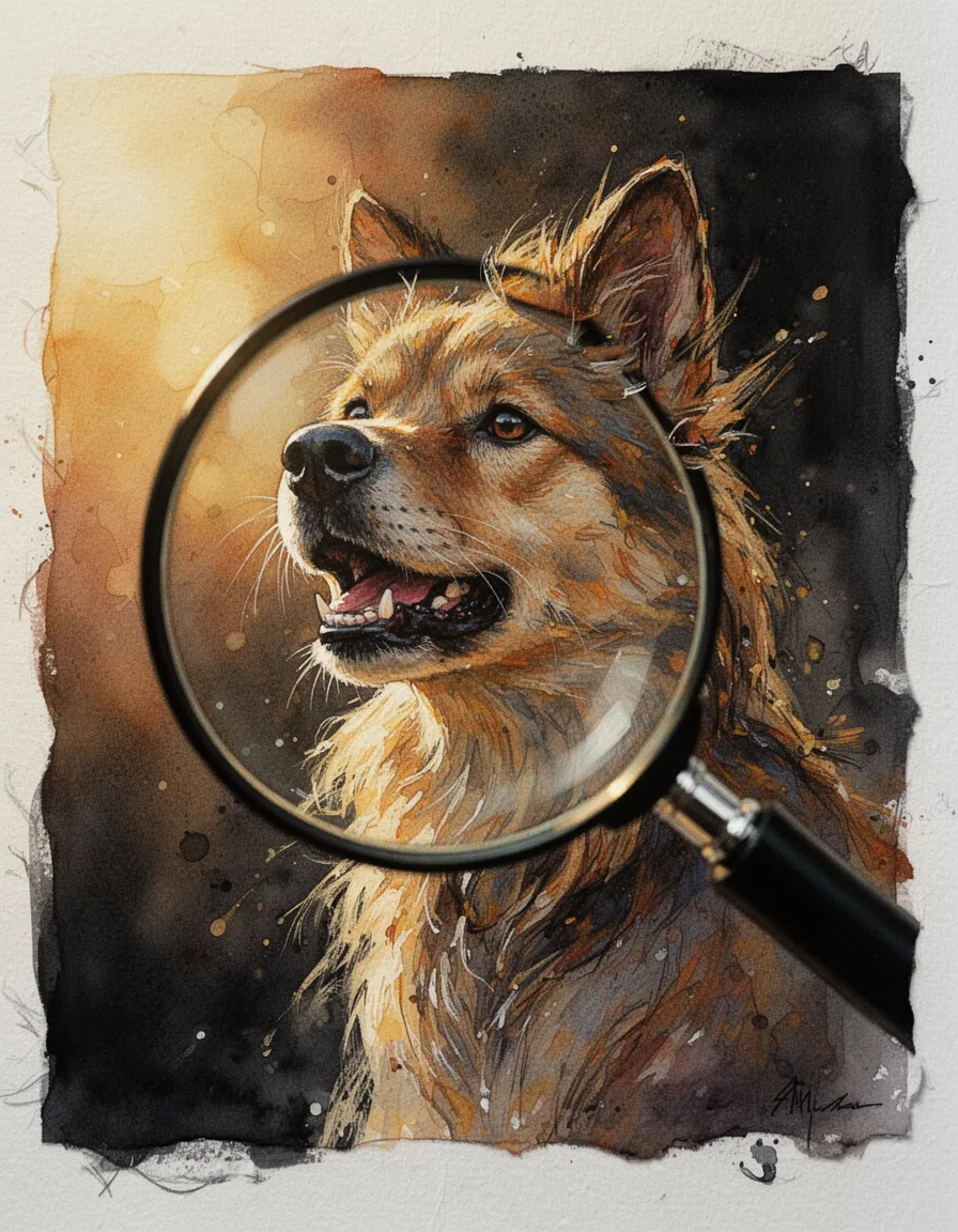
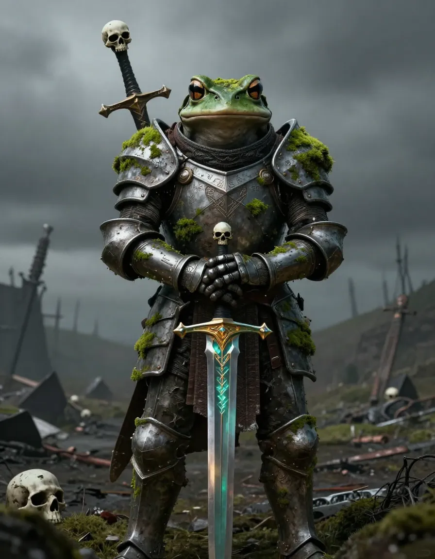
![[P] A detailed, full-body portrait of a mystical spirit wolf, fully visible within the frame, possessing the curious, wide-eyed gaze and large expressive ears of a miniature canine, featuring glowing deep blue and cyan fur with intricate feathered textures. Rendered in Michelangelo perfection style, exquisite flawless form, anatomically perfect hands and feet, clean finger separation, correct fingernails. The subject is posed low in a bed of lush green grass, emerging from a base of shimmering blue glitter, white and deep teal feathers, and a large, central peacock plume. The environment features a soft cyan and pale blue sky, a dark mandala moon disk in the upper left, and elegant dark filigree scrollwork framing the corners. Centered composition, hyper-realistic magical digital painting style. Volumetric god rays, rim lighting, Hasselblad X2D 100C, 50mm lens, ISO100, f/1.8. 8k, 16k, ultra high resolution, crisp sharp focus, gallery grade, poster-size print quality. --ar 9:16 --style raw --q 2 [N] blurry, lowres, artifacts, bad anatomy, extra limbs, extra fingers, mangled hands, out of frame, watermark, logo, text, duplicate subject, poorly rendered eyes, flat textures, simple colors, chaotic composition, multiple wolves, cartoonish look, pixelation, disconnected head, simplified mandala, missing filigree](https://d2z5znftraj9jv.cloudfront.net/jn72ac3v5h30z5fby4yswp9vhh89x3hj.webp)


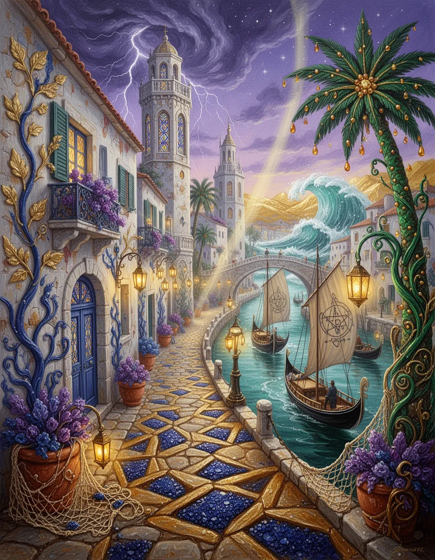
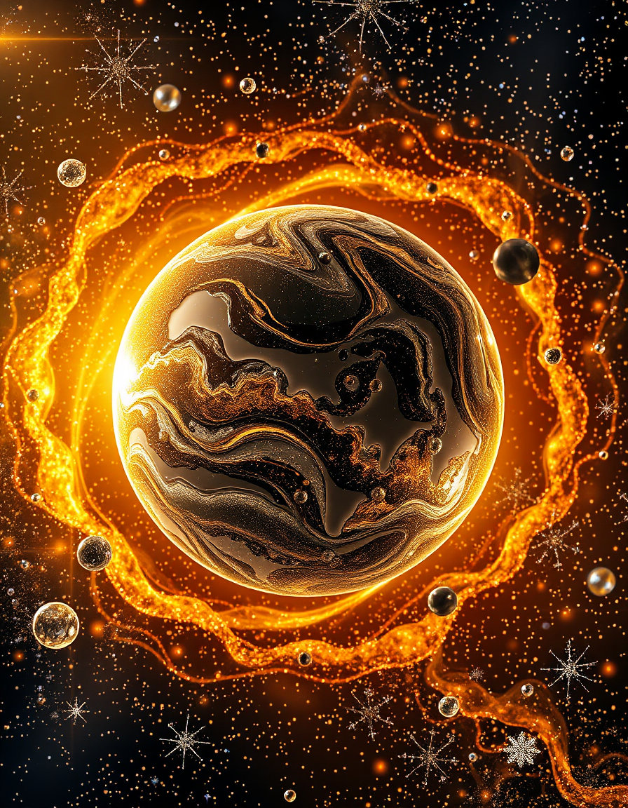
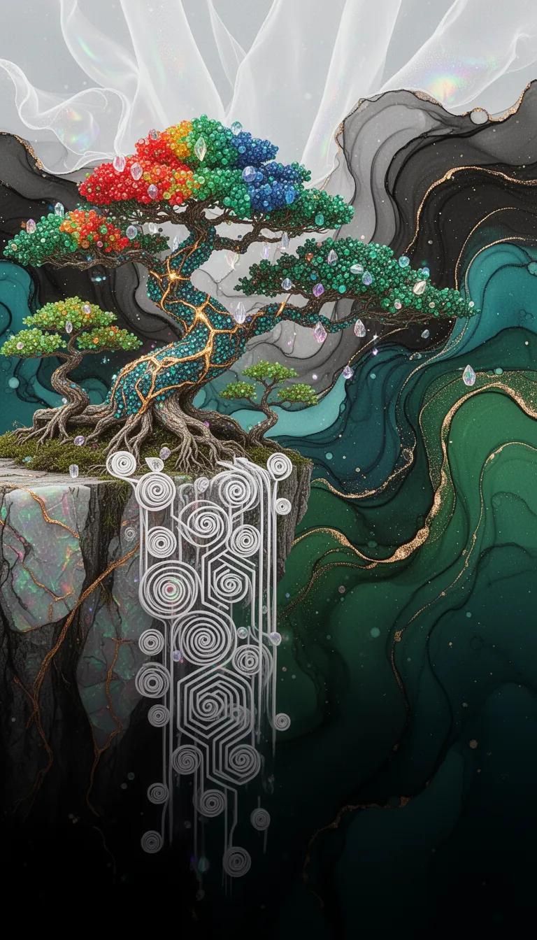
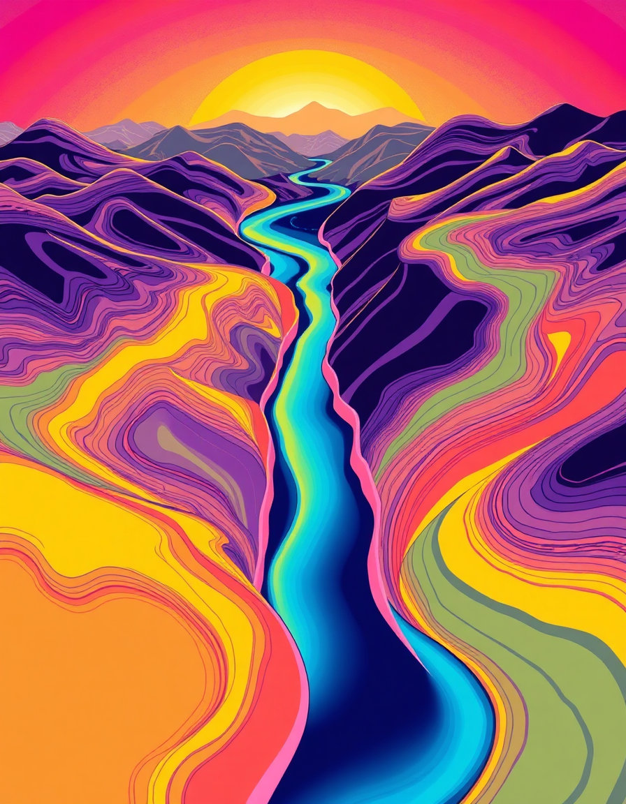
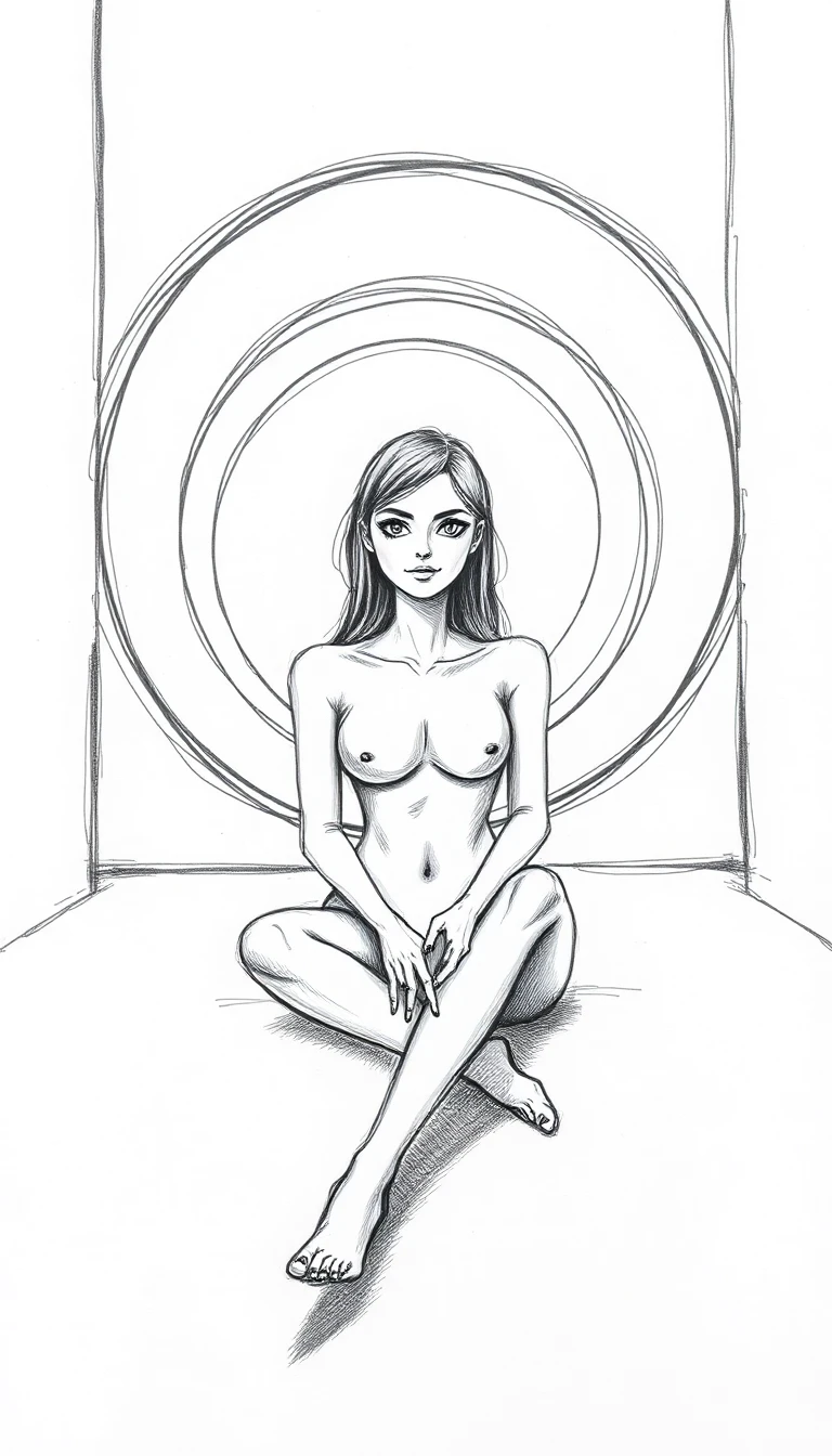
![photorealistic 3d hdr render of an expansive aerial‑isometric scene blending a water‑based megastructure and a fractal maze mega‑palace within a futuristic urban‑mega‑structure. dominant landscape: coastal‑mountain artificial region of interlocking octo‑tori towers with glossy chrome and murano glass facades, mirrored water ponds cascading down terraced levels, integrated ocean‑land infrastructure. sunlight filters through emerald‑malachite and carbon‑fiber surfaces, producing high‑contrast lighting, deep shadows and bright specular highlights on titanium ribs and copper‑gradient bars. at the heart, an infinite 3d fractal maze of mirrored corridors, spiraling staircases, crystalline arches and romanesco‑shaped towers rises under a star‑filled horizon, bathed in luminous haze. surrounding the maze, a water‑power megastructure rises with interlocking octo‑tori towers, luminous murano glass sculptures, solar‑pod platforms and wind‑light vawt lampposts, illuminated by lava‑glow volcanic lighting that casts molten orange‑red highlights fading into deep crimson shadows and blue‑black depths, while amber‑blue mist swirls around aqueducts. subtropical forest canopies, bamboo groves, fern geometry and wildlife corridors dominate the scene, rendered in a palette of deep burgundy, soft blush pink, dusty rose and antique gold, with late‑afternoon golden‑hour lighting and subtle solarpunk optimism.photorealistic 3d hdr render of an expansive aerial‑isometric scene blending a water based mega‑structure and a maze mega‑builds metro‑palace within a futuristic fractal urban‑mega‑structure environment. the dominant landscape is a coastal‑mountain artificial‑mountain region of interlocking octo‑tori towers, glossy chrome and murano glass facades, mirrored water ponds that cascade down terraced levels, and integrated ocean‑land infrastructure. sunlight filters through scattered emerald‑malachite and carbon‑fiber surfaces, creating high‑contrast lighting with deep shadows and bright specular highlights that glint off titanium ribs and copper‑gradient bars. at the heart of the scene, a 3d fractal maze habitat stretches infinitely: endless mirrored corridors, spiraling staircases, crystalline arches, and romanesco‑shaped towers rise under a star‑filled horizon, bathed in luminous haze and heat‑haze glow. extreme telephoto compression flattens layers, producing stacked silhouettes and kaleidoscopic reflections. bold crude outlines and rough brushwork accentuate the majestic atmosphere, rendered in a palette of deep burgundy, soft blush pink, dusty rose, and antique gold. surrounding the maze, the water power megastructure home rises with interlocking octo‑tori towers, glossy chrome surfaces, luminous murano glass sculptures, solar‑pod platforms, and wind‑light vawt lampposts. lava‑glow volcanic lighting pours from below, casting intense orange‑red molten highlights that fade into deep crimson shadows and blue‑black depths, while amber‑blue mist swirls around coiled aqueducts and reservoirs. the broader urban‑mega‑structure layers additional soaring fractal towers, low‑poly chrome constructions, and mirrored water reflections that shift iridescently across an organic, psychedelic composition. converging lines and expansive depth are emphasized by a wide‑angle 24‑35mm perspective, creating dynamic composition and optical illusion effects. encircling the entire region, mega region hydro‑hub infrastructure weaves celtic‑knotwork engineering with futuristic octo‑tori‑stellation sets, forming aerial fractalgon megastructures that echo indonesian batik textures—layered indigo, soga brown, and cream dyes with crackle‑line veined patterns. water flows through mirrored ponds and chrome‑glass towers, reflecting light and highlighting high‑contrast lines that trace over‑under aqueduct interlaces. overlaying the landscape is a translucent fractal tertiary tessellation grid rotated 22.5°, with golden‑light threads visualizing energy flow networks and mathematical annotations (verhulst, logistic, henon, mandelbrot) subtly floating near key nodes. population nodes glow proportionally to their logistic ratios, while settlement clusters follow henon attractor patterns, creating a harmonious blend of geometry and ecology. the ecosystem dominates 77 % of the view: subtropical forest canopies, bamboo groves, fern geometry, romanesco broccoli spirals, coral‑like lattices, and l‑system growth patterns intertwine with the built environment. green corridors, bioswales, and meandering streams trace fractal watersheds, while wildlife—deer, birds, pollinators, and bat roosts—populate corridors and canopy layers. human settlements appear as compact nodes with warm amber‑green lighting, companion animals and livestock integrate seamlessly, and vertical farms bloom in vibrant amber‑green tones. overall mood is aspirational solarpunk optimism, captured in late‑afternoon golden‑hour lighting, with naturalistic color grading of desaturated earth tones accented by selective gold and emerald highlights. the image is rendered with photogrammetry, pbr workflow, subsurface scattering, ray‑traced global illumination, caustic rendering, and ultra‑high‑resolution 8k detail, ensuring hyper‑detailed micro‑textures, fine surface imperfections, and crystal‑clear reflections across every element. ## RESILIENT HABITAT CODEX - IMAGE RENDERING INSTRUCTIONS
**Configuration ID**: SITE-2412_DECENTRALIZED_MR6P6SDF ### PRIMARY VISUAL SCENE
Aerial-isometric view of Site-2412, a urban hub resilient habitat hosting 30,900,109 inhabitants within a subtropical bioregion. distributed network of small nodes, fractal settlement patterns, organic clustering, peer-to-peer connections visible as golden light threads district-wide patterns, interconnected zones, visible green corridors, mid-scale infrastructure ### COLOR PALETTE & ATMOSPHERE
balanced earth tones with vibrant ecosystem greens, 70-85% natural coverage, harmonious integration
Climate: subtropical forests, meandering waterways, bamboo groves, layered canopies
Lighting: natural diffused sunlight with 23% visible built structures creating focal points against 77% ecosystem dominance. ### GEOMETRIC & FRACTAL PATTERNS
geometric overlay following 22.5°° rotation, fractal tertiary tessellation pattern with 0.5-5km nested spacing rhythms FRACTAL MATHEMATICAL OVERLAY (77% Ecosystem / 23% Developed): ▸ VERHULST EQUATION (Population-Carrying Capacity): P(n+1) = P(n) + C·P(n)·(1 - P(n)/K) C = 2.8 (fertility coefficient, subtropical optimized) K = 30900109 × 0.77 (carrying capacity with ecosystem factor) Visual: Population nodes glow with intensity proportional to P/K ratio ▸ LOGISTIC FUNCTION (Chaos-Informed Settlement): P(n+1) = C·P(n)·(1 - P(n)) Operating in stable regime: C = 2.8 (below bifurcation threshold 3.57) Visual: Settlement spacing avoids chaotic overcrowding, stable period-2 oscillation in zoning ▸ HENON ATTRACTOR (Fractal Clustering Dynamics): X(n+1) = Y(n) + 1 - 1.4·X(n)² Y(n+1) = 0.3·X(n) Visual: Settlements distributed in chaotic attractor pattern with mixing properties Points cluster fractally while maintaining biodiversity corridors ▸ FRACTAL DIMENSIONS: • Minkowski Dimension: D_M = log(N)/log(1/ε) ≈ 1.8 for habitat network • Hausdorff Dimension: D_H = log(3)/log(2) ≈ 1.585 for ecosystem corridors • Box-Counting: D_B ≈ 1.7 (between line and plane, optimal for life) Visual: Self-similar patterns repeat across 7 scales (20km → 250m) ▸ MANDELBROT SET INTEGRATION: Z(n+1) = Z(n)² + C Visual: Mandelbrot-like boundaries between 23% developed & 77% wild zones Self-similar "bays" of habitat creating maximum edge diversity Windows of order within complexity at fractal boundaries ▸ GRID ROTATION FORMULA: θ = 22.5°° | Scales: 20km, 10km, 5km, 2.5km, 1km, 500m, 250m Pattern: Fractal Tertiary tessellation with rotational symmetry ▸ SETTLEMENT WAVE-FORM DISTRIBUTION: D(r) = D₀·e^(-r/L)·cos(2πr/λ) L = 5-10km decay length | λ = wavelength Visual: Wave interference patterns create density peaks at node centers ▸ CORRIDOR WIDTH (Verhulst-Adjusted): W(x) = W₀·(1 + 0.23·sin(2πx/P))·(K_local/K_max) W₀ = 3000-5000m base width Visual: Organic width variation following population pressure gradients ▸ DENSITY DECAY DISTRIBUTION: ρ(r) = ρ_max·(1 - r²/R²)^(3/2)·[1 - P(r)/K] R = 5-10km maximum radius Visual: Smooth density gradients from dense cores to wilderness ▸ BIODIVERSITY INDEX (Fractal-Enhanced EHI): B(t,x,y) = B_max·(1 - e^(-kt))·(0.77 + 0.23·H)·F_d t = 1 years | k = recovery rate | F_d = fractal diversity Visual: Biodiversity "heat map" with fractal clustering hotspots ▸ ENERGY FLOW NETWORK (Henon-Distributed): E(x,y) = E₀·[H_x(n) + H_y(n)] Visual: Energy pathways follow chaotic attractor geometry (efficient but organic) ▸ WATER CASCADE (Logistic-Regulated): Q(h) = Q₀·√(h/h_max)·[1 - W_use/W_capacity] Visual: Terraced retention forming fractal watersheds with 95% recycling ▸ MULTI-SPECIES COHABITATION DENSITY: S_total = S_human + 0.3·S_companion + S_wild(fractal) + S_livestock(rotational) Visual: Overlapping habitat layers - humans, companion animals, wildlife, livestock Species distributions follow different attractor patterns for niche separation ### ARCHITECTURAL INTEGRATION
biomimetic architecture, fractal roof patterns, earth-integrated structures, natural material palette (timber, stone, living walls)
Building-to-Nature Ratio: 23% built, 77% ecosystem (visible in composition)
Settlement morphology follows fractal expansion: central dense node with recursive fractal branching at 22.5°° intervals
Height Restrictions: Max 6 stories, human-scale proportions, sky visibility maintained ### ECOSYSTEM & BIODIVERSITY Ecosystem Recovery State: Immediate (0-2yr)
• Canopy Coverage: 40-60%
• Wildlife Corridors: 0.5-5km nested width, continuous green infrastructure
• Water Features: bioswales, retention ponds, meandering streams following natural hydrology
• Native Species: dominant flora with 85% indigenous species
• Vertical Stratification: ground cover → understory → canopy layers visible ### TECHNICAL VISUALIZATION ELEMENTS
• Overlay translucent geometric grid showing Fractal Tertiary tessellation
• Subtle mathematical formula annotations floating near key infrastructure nodes
• Energy flow visualized as golden light threads connecting buildings
• Water systems shown as blue-cyan flowing networks
• Food production (vertical farms, rooftop gardens) in warm amber-green tones
• Transportation: minimal visible roads, emphasis on pedestrian paths and green corridors ### MOOD & STYLE
Aspirational solarpunk aesthetic, scientifically grounded optimism, harmonious human-nature integration, photorealistic rendering with subtle holographic data overlays, late afternoon golden hour lighting, sense of living ecosystem with human habitat seamlessly embedded, visible biodiversity with people, flora, and fauna coexisting. ### RENDERING SPECIFICATIONS
• Perspective: 45° isometric aerial view or drone perspective at 4,334 km² scale
• Resolution: Ultra high resolution, 8K quality
• Style: Photorealistic with subtle parametric design elements, architectural visualization meets ecological science
• Emphasis: Show the INTERLOCK between built environment (23%) and ecosystem (77%)
• Fractal Details: Visible at multiple scales from building details to regional patterns ### TECHNICAL PARAMETERS FOR AI IMAGE GENERATION
Model: Architectural visualization + ecological landscape rendering hybrid
Prompt Weight Distribution: • Ecosystem Dominance: 0.77 (primary visual weight) • Architecture: 0.23 (integrated but not dominant) • Fractal Patterns: 0.18 (visible mathematical beauty) • Mathematical Overlays: 0.10 (subtle formula annotations) • Multi-Species Integration: 0.12 (visible biodiversity) Negative Prompt: urban sprawl, monoculture, car-centric design, concrete dominance, gray industrial zones, ecological deserts, species isolation, chaotic overdevelopment (C > 3.57 bifurcation), megacity density, ecosystem fragmentation Aspect Ratio: 16:9 (landscape/bioregional) or 3:2 (architectural detail)
Seed Strategy: Use Fibonacci sequence (1,1,2,3,5,8,13,21,34,55,89...) or golden ratio φ=1.618 for natural fractal generation
Iteration Depth: 7 levels of fractal recursion matching spatial hierarchy
Chaos Parameter: a=1.4, b=0.3 (Henon stable mixing regime)
Population Parameter: C=2.8 (stable logistic growth, pre-bifurcation) ### SPECIES COHABITATION VISUALIZATION
Visual Layers to Show: ✓ Human settlements: compact nodes, warm lighting, visible activity ✓ Companion animals: dogs/cats in shared spaces, bird perches on buildings ✓ Wild species: deer in corridors, birds in canopy, pollinators in gardens ✓ Livestock: rotational grazing visible in agricultural zones ✓ Bat roosts: 1 per 20m of facade (small architectural details) ✓ Pollinator gardens: 15+ native species creating color diversity ### FRACTAL SELF-SIMILARITY DIRECTIVE
Ensure patterns visible at multiple scales: 1. Regional (20km): Bioregional wave-form lattice 2. District (5km): Settlement clustering following Henon attractor 3. Neighborhood (1km): Grid tessellation at θ=22.5°° 4. Block (250m): Corridor widths varying 3000-5000m 5. Building (50m): Fractal roof patterns, living walls 6. Human (5m): Detailed biodiversity, individual species visible 7. Detail (0.5m): Material textures, plant species diversity ---
*EVOLUTIONARY POPULATION MODELING INTEGRATED: This prompt embeds Verhulst, Logistic, Henon, and Mandelbrot mathematics into visual form. The 77/23 ecosystem-to-developed ratio is maintained through fractal boundaries. Population dynamics operate in stable regime (C=2.8) avoiding chaotic bifurcation. Multi-species cohabitation creates resilient, biodiverse territories supporting 8+ billion beings across all taxonomic groups.*](https://d2z5znftraj9jv.cloudfront.net/jn74r6pjvn8bx6c8v1x5ymv6y189wvz4.webp)